Staff
FAQs
About the Planning Department
The Planning Department facilitates plans and planning related efforts for the orderly development and redevelopment of the Township. Staff serves the Planning Commission, the Parks and Recreation Commission and the Grand Traverse Commons Joint Planning Commission. Staff also represents the Township on the Cherry Capital Airport Zoning Board and the Technical Committee of the Traverse Transportation Coordinating Initiative (TTCI), the Metropolitan Planning Organization (MPO) for transportation planning in Traverse City - Garfield, MI Urban Area.
Responsibilities
The Planning Department is responsible for:
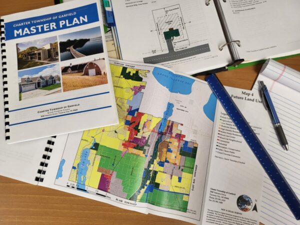
- Facilitating and preparing all plans for the Township, including the Master Plan, Parks and Recreation Plan, Strategic Plan, Capital Improvement Plan and subarea plans.
- Functioning as the liaison between the community and the Planning Commission in managing applications for special land use permits, planned unit developments, subdivisions, site condominiums, and rezonings.
- Reviewing all site plans, including plans approved both by the Planning Commission and through administrative approval.
- Preparing and maintaining the Zoning Ordinance and any amendments.
- Creating and maintaining the Garfield Township Atlas which includes interactive and printable maps.
When to Contact the Zoning Dept.
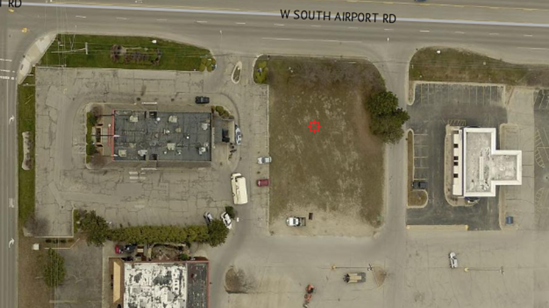
Variance requests, sign permits, land divisions, and land use permits are not processed by the Planning Department - those requests should be directed to the Zoning Department.
Questions
Please feel free to contact us with any of your questions, comments, or concerns.
Resources
Master Plan
Garfield Township adopted its Master Plan in July 2024. The planning process helps to give the Township a better understanding of residents' needs and desires for the future growth of the Township. The Master Plan helps guide land use and zoning policy including the Garfield Township Zoning Ordinance.
The Michigan Zoning Enabling Act (MZEA) requires zoning to be based on a plan, so if a community wishes to adopt a zoning ordinance, it must also prepare and adopt a master plan to serve as the basis for the various zoning districts in the jurisdiction. Thus, communities must also follow the Michigan Planning Enabling Act (MPEA) for engaging in land use planning and preparing a master plan.
* Update July 2024 * - The Township recently adopted a new Master Plan on July 9, 2024. The final Master Plan document can be viewed at the following link
At the beginning of each year, the Planning Commission reviews progress on implementing the Master Plan and determines priority projects for the upcoming year. The Master Plan Implementation Matrix shows which items have been completed, which are ongoing, and which are scheduled to be done in the future. This Matrix guides the Planning Commission in choosing their priorities and may include additional planning projects, zoning ordinance review, and other activities.
Barlow Garfield Neighborhood Plan
The Barlow Garfield Neighborhood Plan is Garfield Township's plan to help guide future land use and development for a portion of the east side of the township. The plan incorporates research about the neighborhood including demographics, history, and current trends impacting the area. This research and public input were used to create a draft strategic plan and development guidelines for the neighborhood.
Strategic Plan
From June to August 2019, the Township Board underwent a strategic planning process. The Board identified several strengths, weaknesses, opportunities, and threats facing the Township. These were used to form the vision statement, mission statement, and goals to guide the work of the Township Board, its appointed boards and commissions, and staff.
Regional Plans
The Framework for Our Future: A Regional Prosperity Plan for Northwest Michigan is a regional resource for communities working to meet local goals. The Framework was developed, with participation from a broad range of community leaders, stakeholders, and the public, as part of Michigan's Regional Prosperity Initiative.
Planning Commission Annual Reports
Every year, the Planning Commission prepares an annual report to the Township Board in accordance with the Michigan Planning Enabling Act (MPEA). The annual report describes the Planning Commission's "operations and the status of planning activities, including recommendations regarding actions by the legislative body related to planning and development." The Planning Commission's Annual Reports for each of the last three years are provided below:
Joint Meetings of the Township Board and Planning Commission
The Township Board and Planning Commission have held joint meetings to help ensure consistency in meeting the Township's goals and priorities. These joint meetings have provided a framework for discussion around the Master Plan update process including key topics to include in the updated Master Plan.
-
- 2/26/2025 (5)
- 3/27/2024 (4)
- 2/28/2023 (4)
- 2/23/2022 (5)
Michigan State University Urban Planning Practicum Project
In 2022, a team of students from the Michigan State University urban planning program completed a project on sidewalks and trails in Garfield Township. This included analyzing neighborhoods of the Township to target sidewalk and trail investments and developing a methodology for determining future priorities. The information learned from this project will help guide the Township during the Master Plan update process.
Public Participation Strategy
In 2021, the Township adopted a Public Participation Strategy. This is an important tool for identifying key stakeholders of the Township, determining the most effective ways to communicate with stakeholders, and tracking and conveying the outcomes of community engagement efforts. The Public Participation Strategy will help guide public engagement efforts for projects including the Master Plan and Parks and Recreation Master Plan.
Complete Streets
In 2013, the Township Board adopted a "Complete Streets" resolution. The concept of "Complete Streets" means roadways that are planned, designed, and constructed to provide appropriate access to all legal users in a manner that promotes safe and efficient, multi-modal movement across the community.
Zoning Ordinance
Grand Traverse Commons Redevelopment District Zoning Ordinance
The City of Traverse City and Garfield Township Joint Planning Commission (JPC) administers a Master Plan and Zoning Ordinance for the Grand Traverse Commons Redevelopment District. Please find a copy of the Grand Traverse Commons Development Regulations adopted May 7, 2017.
Maps
Zoning Map
Formatted to print on 11x17" paper. Larger Map sizes are available. Contact Garfield Township for more information.
Zoning Map (11″ x 17″) – reflecting amendments through April 23 2024
Interactive Maps
Check out the Interactive Zoning Map for information about parcels, parks, and more!
Ordinances of Interest
The following information, including the Guide to Development, is intended as a resource to help navigate the development review process. The Township encourages investment in our community and wants to see our residents and businesses succeed. Staff is available to help assist you and answer any of your questions.
Guide to Development
Anyone interested in development in the Township is encouraged to review the Guide to Development below to become familiar with the development review process. This guide describes the Township’s expectations for developments, provides a general overview of the process, and provides links to key resources.
-
- Appendices (4)
- Pre-Application Review Forms (1)
- Application Review Forms (11)
- Building & Land Use Forms (9)
- Soil Erosion and Sedimentation Control (SESC) (6)
- Other Considerations Forms (6)
Township Maps
Check out the Garfield Map Center for information about parcels, zoning, parks, and more!
PDF Maps
The following maps are available for viewing and download.
-
- Township Park Maps (6)
Not Finding What You're Looking For?
Contact the Planning Department and we will do our best to assist you. If you have access to a plotter and would like to print larger maps, we are able to provide PDF map files. Sizes up to 36"x48" are available.
GIS Data and Map Request
Alternately, you may submit a specialty map request on the GIS Data and Map Request Form if you are looking for data or maps tailored to a specific need.
Joint Planning Commission information can be found on the Joint Planning Commission website page.
